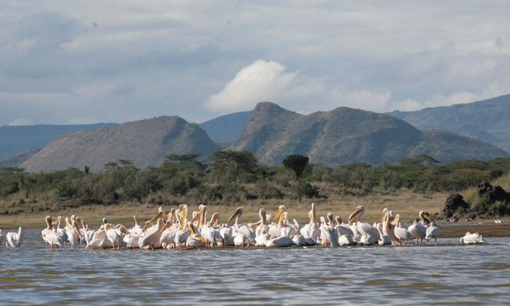
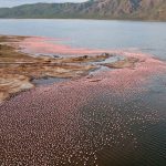
Newly established, this is a bird lover’s paradise with over 400 bird species have been recorded in the Lake Nakuru/Lake Elmenteita basin. Elementaita/Elmenteita attracts visiting flamingos, both the greater and lesser varieties, which feed on the lake’s crustacean and insect larvae and on its suspended blue-green algae, respectively. It was designated an Important Bird Area (IBA), a site of global significance for bird and biodiversity conservation, in 1999.
Elmenteita is derived from the Maasai word Muteita, meaning “dust place”, a reference to the dryness and dustiness of the area, especially between January and March. The town of Gilgil is near the lake. In the south-to-north sequence of Rift Valley lakes, Elmenteita is between Lake Naivasha and Lake Nakuru. It is easily visible on the Nairobi Nakuru highway, also the A104 Road. At the southern end of the lake are the “Kekopey” hot springs, in which an introduced fish, the Lake Magadi tilapia, breed. The reed beds nearby are fishing grounds for night herons and pelicans.
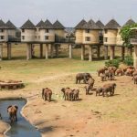
Lake Elementaita basin has one of the oldest archeological sites belonging to the Oldowan period, with stone tools dating to 700,000 years ago found at Kariandusi. The Obsidian mines at the Eburru Mountains are evidence of Obsidian trade dating over 3000 years ago. Subsequently, the region was occupied by pastoral Neolithic, later the Maasai pastoral community who called it “Elementaita”. The lake borders Soysambu conservancy, which covers 2/3 of the shoreline and is home to over 12000 wild animals. The lake’s shores are grazed by zebra, gazelle, eland and families of warthog.
Lake Elmenteita has been a Ramsar site (wetland of national importance) since 2005 and is a UNESCO World Heritage site. Nearby is the Kariandusi Museum, at an important prehistoric site where stone hand axes and cleavers were discovered in 1928 by Louis Leakey. Elmenteita Badlands is a lava flow to the south of the lake, covered in bush and including some spectacularly scenic peaks.


